
 Beatrice Galzin
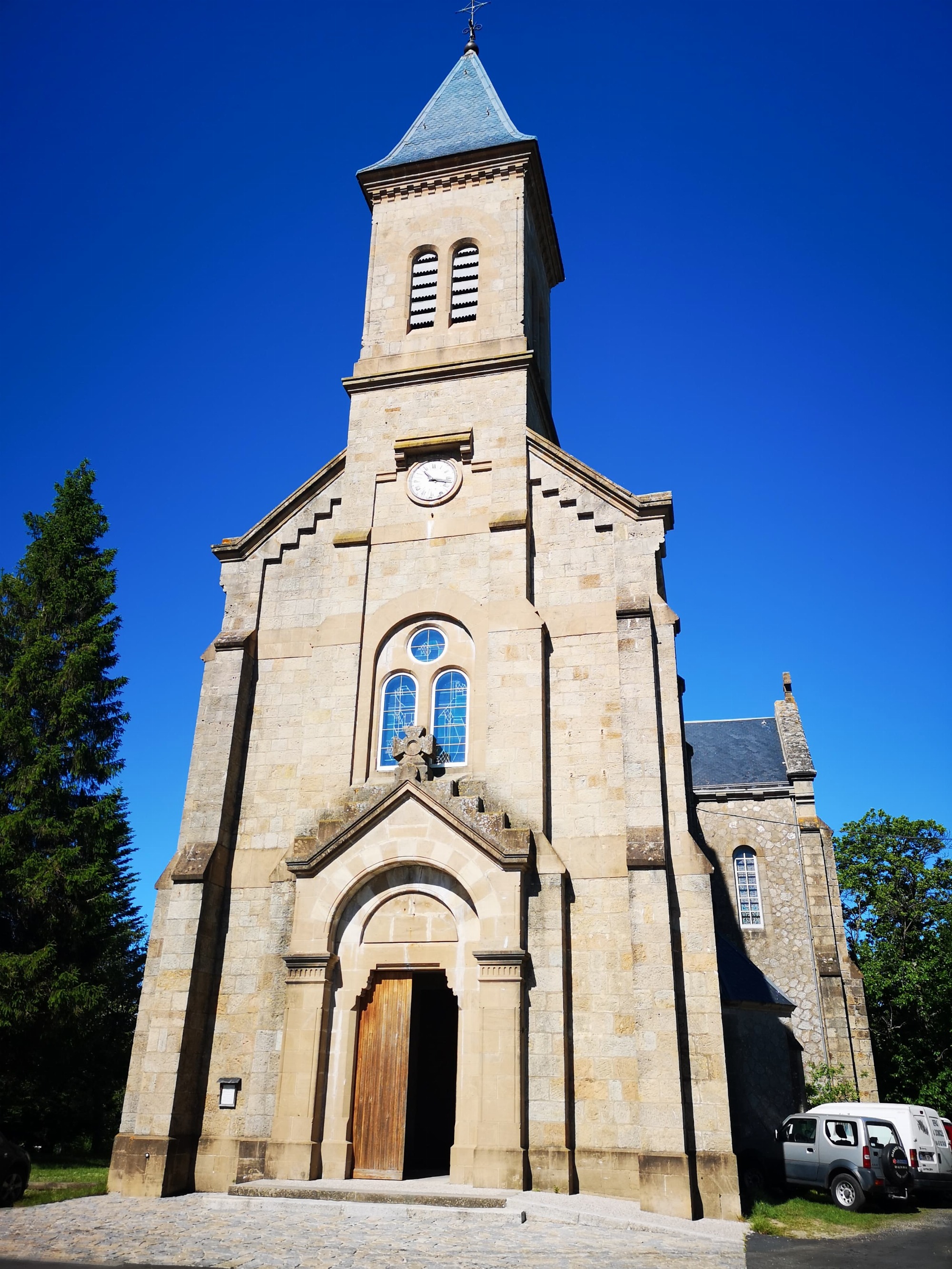
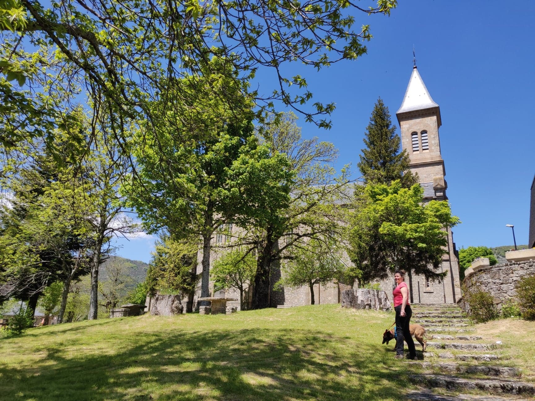
Dourbies, a village of character
Dourbies
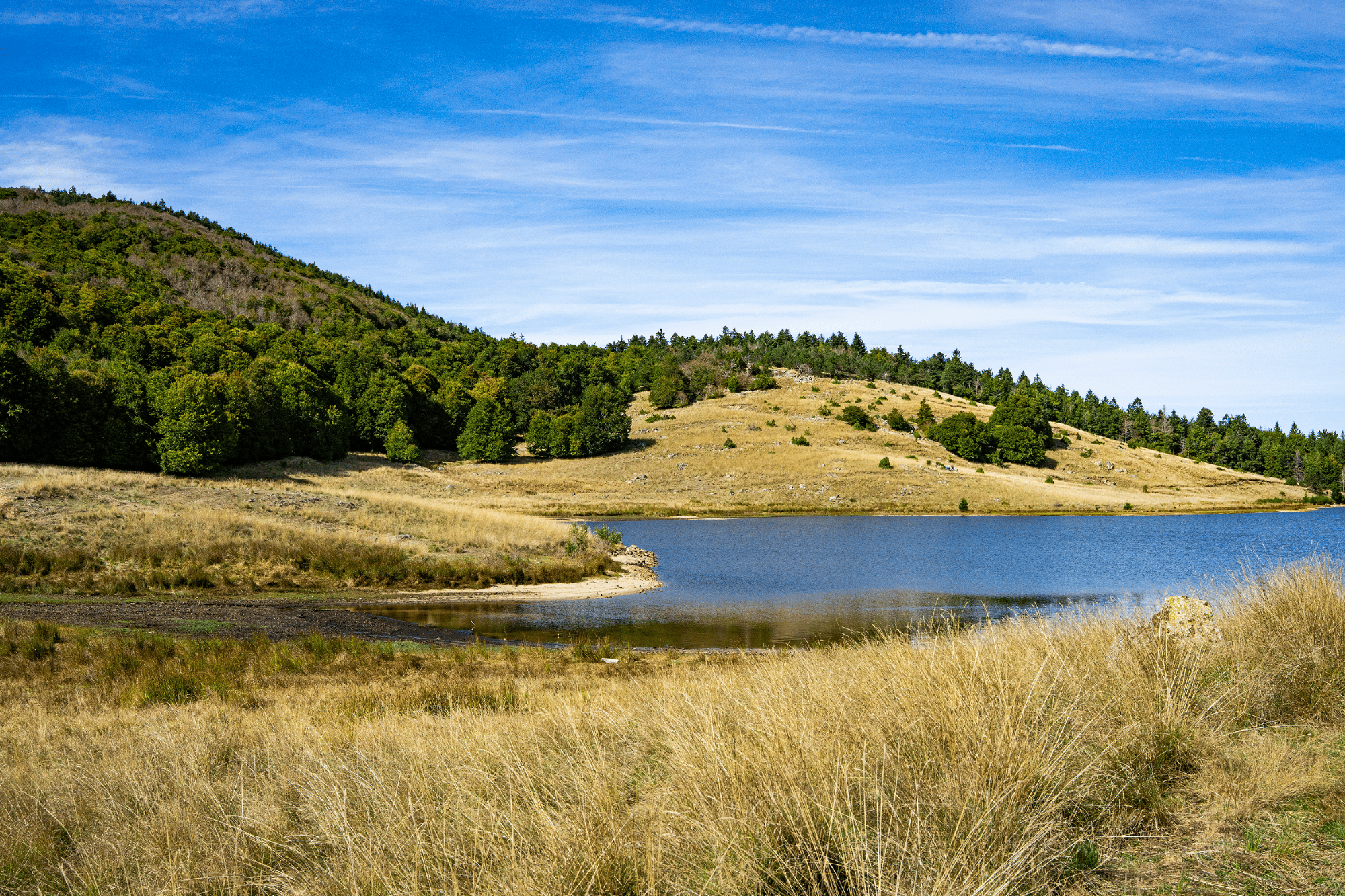
Such a panorama is well worth the effort! This long loop invites you to gain altitude and crosses valleys, streams, forests, moors and hamlets.
The short final climb is reminiscent of the great peaks... Difficult trail for experienced hikers.
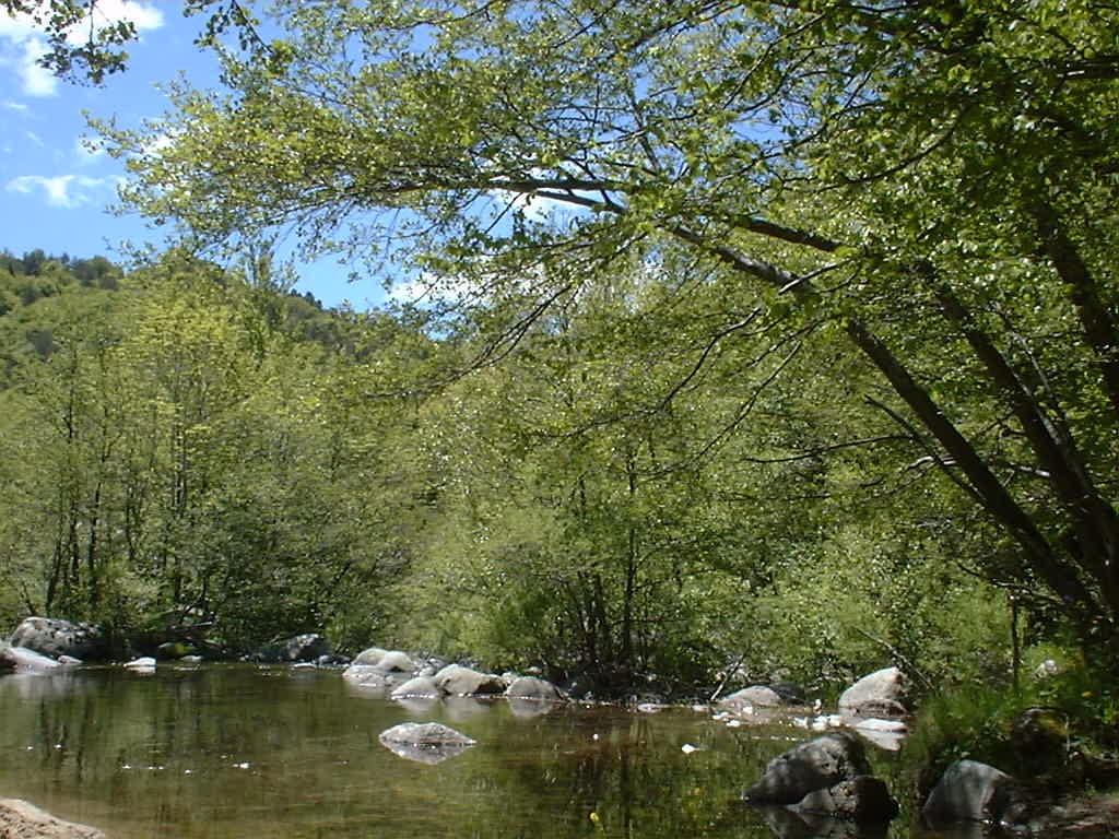
This trail begins in the village of Dourbies, located in the Dourbies Valley, a granite valley, just like this hike. We find ourselves in the typical landscape of a granite massif: erratic boulders, sweeping landscapes, and magnificent beech forests. The panoramas are exceptional.
Starting point: Church square, Dourbies
Duration: 6 hour
Mileage: 18km
Difficulty: Difficult
Mountain bike access: impassable
Elevation: 764m
Markings: yellow
Good walking shoes are recommended; animals must be kept on a leash. There is a flock of sheep in the area, and you may encounter livestock guardian dogs. An alternative route for this hike is available on the Massif de L'Aigoual map-guide, which can be purchased at our Mont Aigoual Causse Cévennes tourist offices. The route can also be found on the Cévennes National Park website.
Beatrice GalzinDourbies
 Thomas Sauvé
Dourbies
 Rights managed
Dourbies
 Beatrice Galzin
Dourbies
 Dourbies Town Hall
Dourbies