
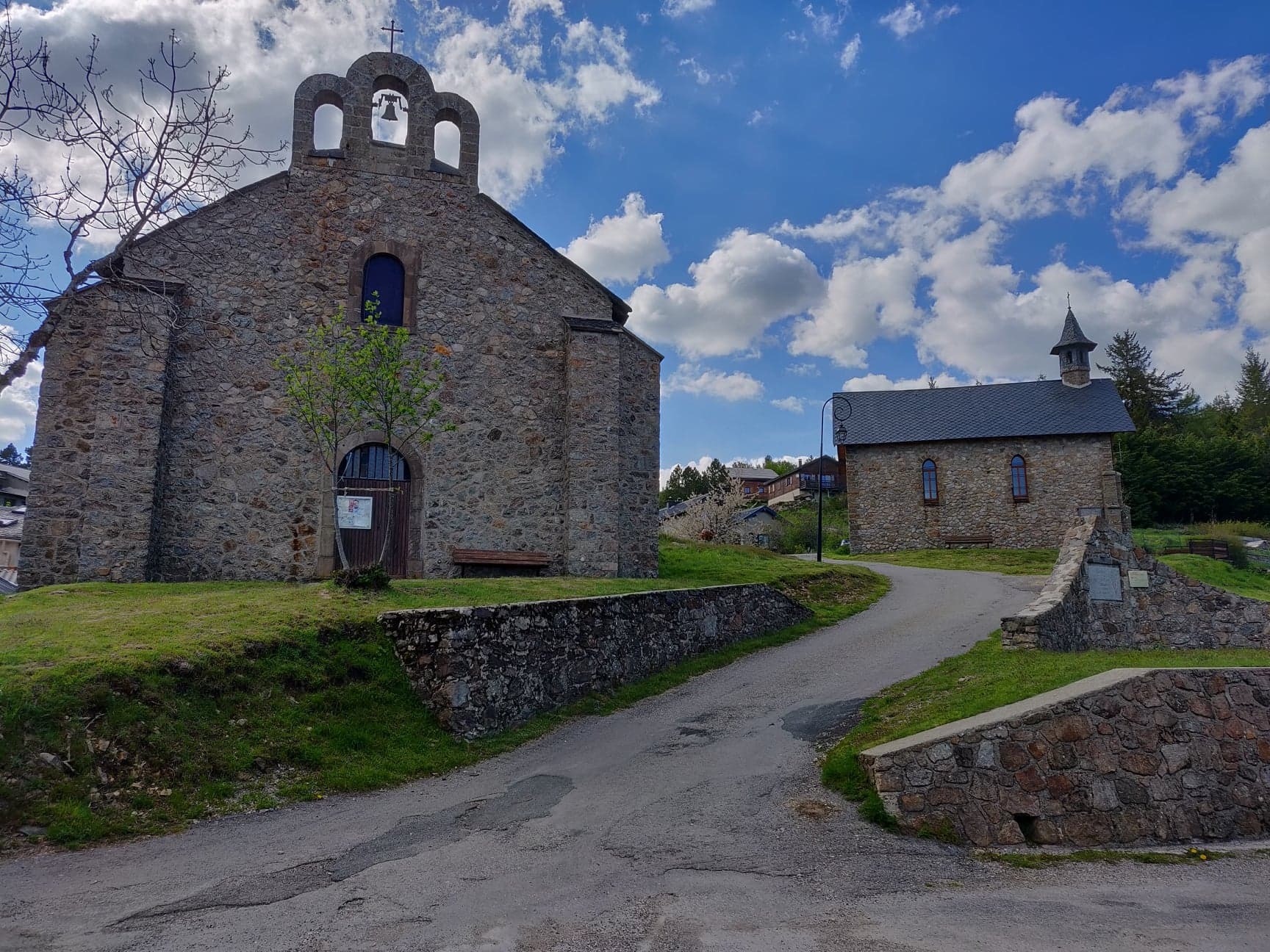
 Beatrice Galzin
L'Espérou
L'Esperou
After traversing the ocean side of Aigoual, your journey descends towards the Hérault valley, reaching Le Vigan and then climbing back up to the Col du Minier via a narrow, vertiginous road, to reach L'Espérou
This route will give you a great overview of the Aigoual massif and its foothills, between Gard and Lozère!
Departure possible from each village/town passed through.
After enjoying the 89km QUEZAC route (the oceanic side of Mont Aigoual), at L'Espérou take the wide, winding descent towards Valleraugue, then glide along the upper Hérault Valley to the Pont d'Hérault crossroads. Turn right towards the town of Le Vigan, which you'll pass through before rejoining quiet roads and tackling the climb to the Col du Minier (1264m). The final 11km back to L'Espérou are also very scenic, with a pleasant profile to complete this grand loop!
Departure: L’Espérou / Dourbies / St Sauveur Camprieu / Lanuéjols / Meyrueis / Prat-Peyrot / Valleraugue
Difficulty: Black - Very difficult
Duration: 8 hour
Distance: 161 km
Elevation: 2550 m
The route is available for free download and the map-guide is on sale for €3 from the Mont Aigoual Causses Cévennes Tourist Offices.
The "4 Seasons Nature Hub of the Aigoual Massif" project is co-financed by the European Union.
Europe is investing in the Massif Central with the European Regional Development Fund.
Beatrice GalzinL'Esperou
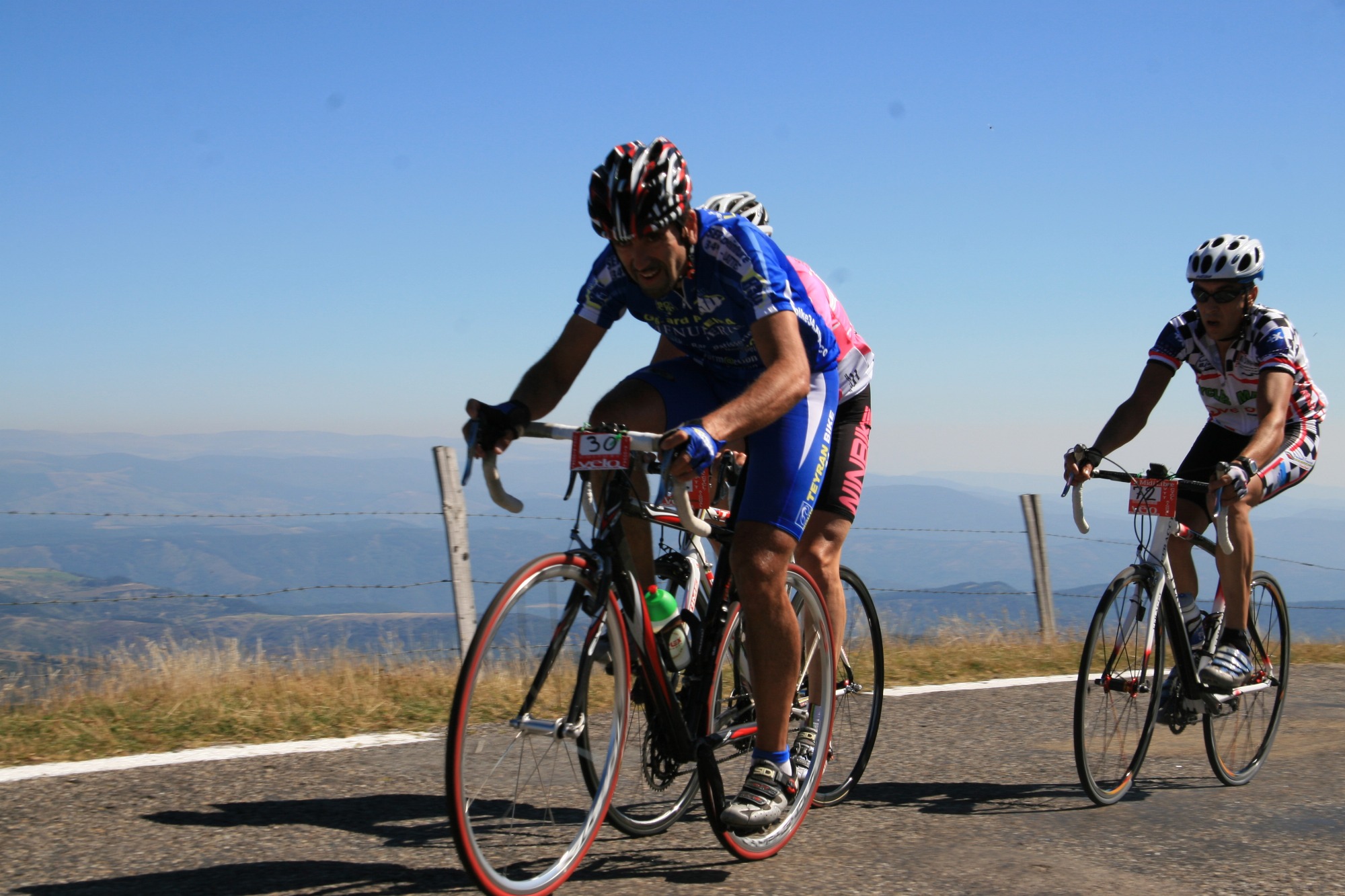 Cyclaigoual and mountain biking
Lanuejols